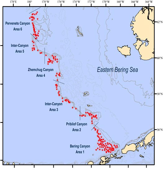
Figure 8. Stations surveyed in the eastern Bering Sea upper continental slope groundfish survey in 2010. Isobath lines show 25-m depth contours.
During June and July 2010, the RACE Division conducted the biennial eastern Bering Sea upper continental slope groundfish survey. This effort was the fourth of a new series that includes previous surveys in 2002, 2004, and 2008.
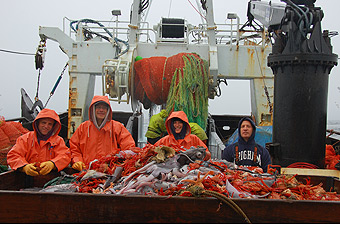
Figure 9. Trawl catches aboard the chartered fishing vessel Vesteraalen are sorted during the 2010 eastern Bering Sea upper continental slope groundfish survey.
We conducted 200 successful tows between 200- 1,200 m along the continental slope of the eastern Bering Sea from Akutan Island toward the northwest to the international boundary using a stratified random design (Fig. 8) that distributes sampling effort in proportion to the area by depth and geographic subarea.
The objectives of the survey are to describe the current composition, spatial and depth distributions, and relative abundance of groundfish and invertebrate resources, and to collect biological data from a variety of commercially and ecologically important species (Fig. 9).
At each trawl station we collected environmental parameters including bottom depth, surface and bottom water temperatures, light levels, and sea states to relate long-term changes in fish and invertebrate distribution with changes in oceanographic conditions. In addition we completed more than 20 research projects requested from investigators.